


Trail Highlights
| Trailhead location | Ski Village Dr, Mount Shasta City |
| Length | 3.25 miles (round trip) |
| Elevation gain / max | 650′ / 4,290′ |
| Difficulty | Moderate |
| When to go | March – November |
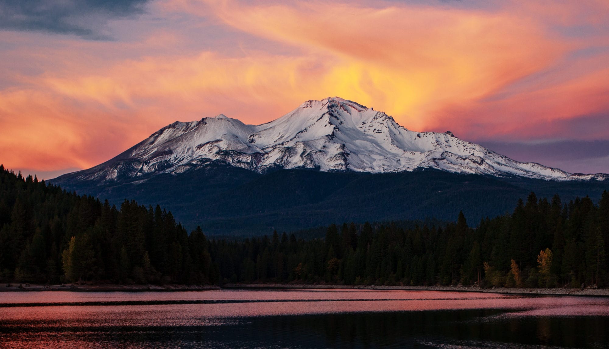
The Spring Hill trail offers a splendid 650′ climb conveniently located in Mt Shasta City. Benches and tables along the trail give you a chance to rest and enjoy great views of Mount Shasta, Black Butte and the Strawberry Valley.
Trail Map
Other Maps
Trail Details
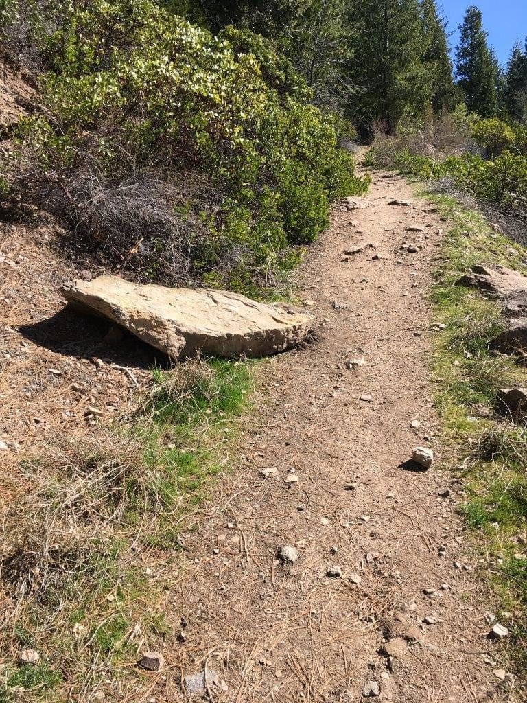
From the parking area, there is a kiosk about 50 yards down the trail, where the trail turns moderately uphill. In about a third of a mile the single track trail hits an old road bed and follows the road to the summit of Spring Hill.
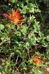
Continue climbing, eventually reaching several switchbacks with benches, should you feel like resting and enjoying the view. Phlox, Indian Warrior, Shasta Lily and other wildflowers dot the path.
Rocky Point Loop: Before the summit there are two junctions for Rocky Point, a loop trail that comes back to the road to the summit. The trail offers great views of Mt. Shasta, the city, and of Mt. Eddy.
Geology: Spring Hill is considered a “parasitic” or “satellite” cone by geologists. Shaped by the accumulation of volcanic material not part of the central vent of Mount Shasta, the cone is formed by eruptions from unstable fractures on the flank of the volcano. Eventually the fractures reach the magma chamber and generate eruptions called flank eruptions which in turn produce a parasitic cone.
How did Spring Hill get its name? Very close by is Big Springs, said to be the headwaters of the Sacramento River, across North Mt. Shasta Boulevard in the City Park. Icy clear water gushes from a lava tube originating deep within Mount Shasta. The water flows from here down through the Golden Gate to the Pacific Ocean — a 270+ mile trip. Spring Hill has also been referred to as Sisson’s Cone.
Benches & Tables: Near each of the three main switchbacks, a bench offers space to rest and enjoy the view. At the top there are two picnic tables – bring a lunch!
Directions to the Trailhead
From the I-5 Central Mt. Shasta City exit:
- Take Lake Street east to Mt. Shasta Blvd .
- Turn left onto North Mt. Shasta Blvd
- Continue north to Ski Village Dr
- Turn right onto Ski Village Dr
- Go straight through the next intersection
- Park in the loop near the Spring Hill Trail sign
Support MSTA
MSTA develops and maintains trails in the Mount Shasta area, and advocates for hiking, biking and equestrian access. We are a volunteer-based 501(c)(3) non-profit organization and count on your support. Please consider giving back to your trails!
