Length: Round trip to end of the trail and back is 3.0 miles.
Maps: The Box Canyon Trail is shown on the various Lake Siskiyou Trail maps. See the Lake Siskiyou Loop trail guide
Elevation Gain: The trail gently drops down before it climbs back up to its end. Total change in elevation is minimal.
Difficulty: Easy
When to Hike: Year-round
Directions to Trailhead: From the Central Mt. Shasta exit from I-5, take Hatchery Lane west 0.2 miles to the intersection with the North Old Stage Road. Turn left (south) and go 0.3 miles until W.A. Barr Road veers to the right. Take the right onto W.A. Barr Road about 1.5 miles to just past the golf course and before the bridge over the Box Canyon Dam. Look for parking spots to the left on the wide gravel shoulder. You can also park in the Lake Siskiyou paved parking area on the other side of W.A. Barr Road. The trail begins by a large ponderosa pine tree with a wood trail sign attached fairly high up.
Controlling Agency: County of Siskiyou Flood and Water Conservation District.
http://www.co.siskiyou.ca.us/content/general-services-flood-control-water-conservation-district
Special Features:
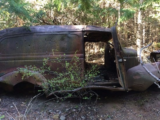
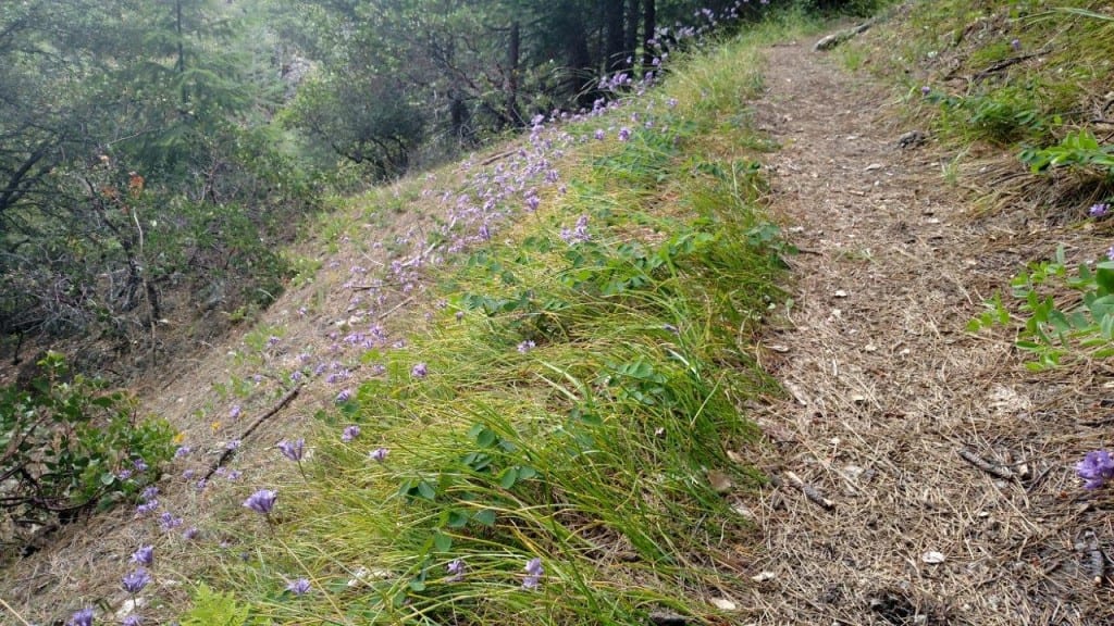
A nice stroll on a mostly shady trail that parallels the Sacramento River as it churns down Box Canyon, just below Lake Siskiyou. Along the trail you have sights and sounds of the Sacramento River and Box Canyon. You will also see remnants of old car bodies and washing machines as you traverse the edge of the city’s old dump.
Description and Comments: The beginning of the trail is marked by a sign fairly high up in a ponderosa pine by the parking area. The first part of the trail gives you glimpses of Box Canyon Dam, which can be quite noisy during spring flow if water is spilling over the dam. You quickly enter an open area where a rip-rap of rock cobble was used to rehabilitate a construction site. You will also see a green pedestrian bridge associated with the Mt. Shasta Resort golf course. The trails drop down to cross a small creek, and then drops further to the car body “graveyard” and then crosses a second creek on a wood bridge. You contour around the slope that drops to the river to a third creek crossing on another wood bridge. From here, the trail climbs to its end at a large boulder and the trails end. Someday, the MSTA hopes to continue the trail all the way to Dunsmuir.