
Created in 1989, Mount Shasta Trail Association provides inspiring outdoor experiences, advances appreciation of the beauty of the Mount Shasta area, and assists in educating the public in environmentally sound stewardship.
MSTA is a California Nonprofit Public Benefit Corporation. We build trails, advocate for more access to trails and trail protection, and work to conserve the natural beauty of our area. In addition, we offer a selection of resources to aid newcomers and experienced hikers alike.
Latest News
Cleanup Done on Sat., April 20
On Sat., April 20, about 15 dedicated citizens showed up to clean up our city. The bulk of the group stayed at the abandoned campsite behind the Forest Service Office and collected more than two pickups of garbage (wet clothes, food…
Happy Earth Day!
Earth Day is celebrated around the planet every year on April 22 and is a great opportunity for us to “Think Globally and Act Locally”. For more information from earthday.org, click here. You can support Earth Day every day by helping…
Trail Challenge 2024 – Check Out Dunsmuir River Trail
Here’s an easy trail along the Upper Sacramento River that connects two unique and beautiful parks. This trail is a little narrow and has just a bit of elevation but it’s short and pretty easy. You can park at either end…
Support MSTA
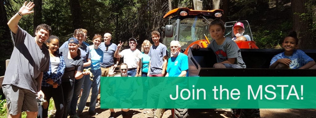
Mount Shasta Trail Association creates new trails in the Mount Shasta area, maintains existing ones, and helps conserve the natural resources that make these trails such an attraction. We also advocate for preserving and expanding access to local hiking, biking and equestrian trails.
Want to help? Support the MSTA with a donation. You can also subscribe to our email list to be notified of Trail Team volunteer opportunities, MSTA news and other updates:
