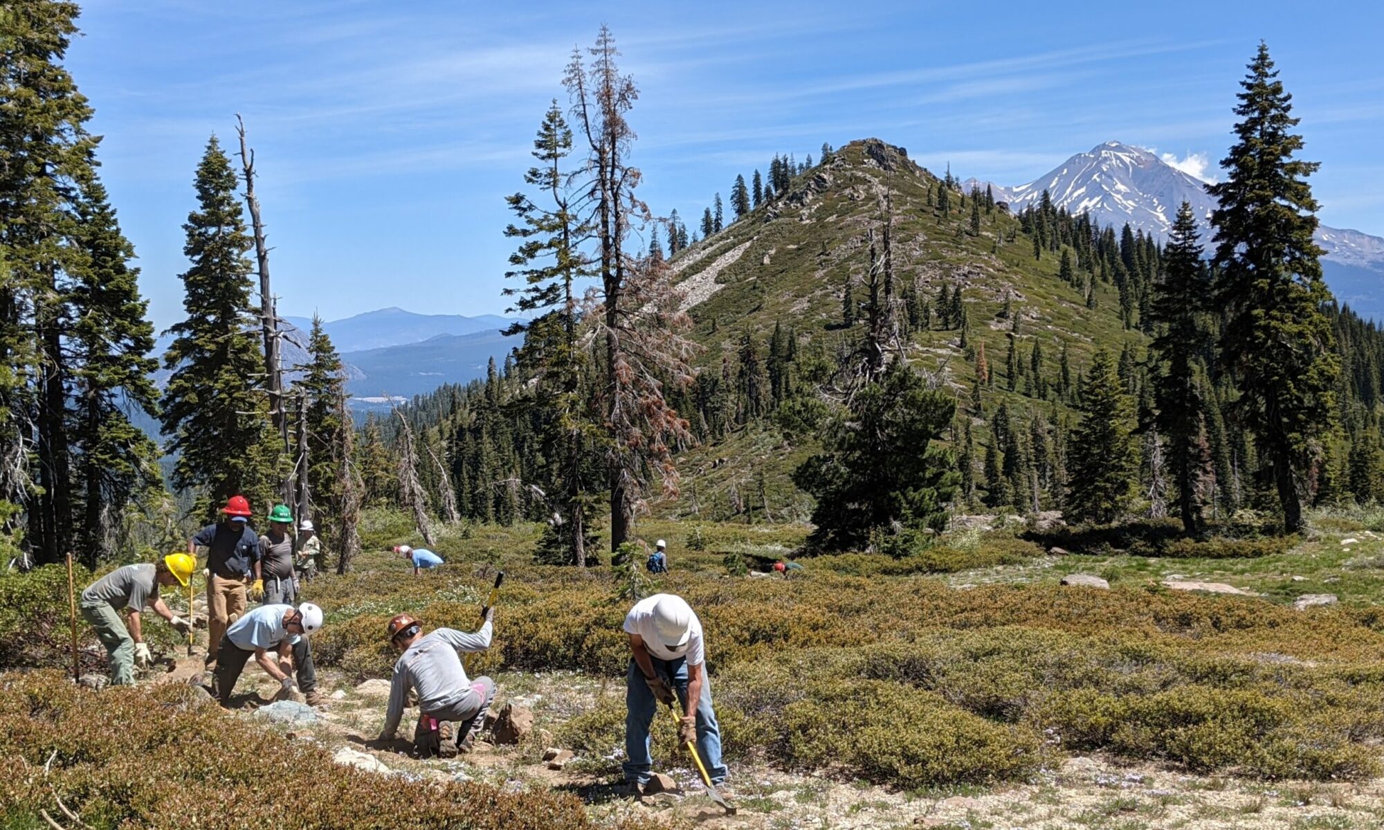
Sierra Club Foundation Trails
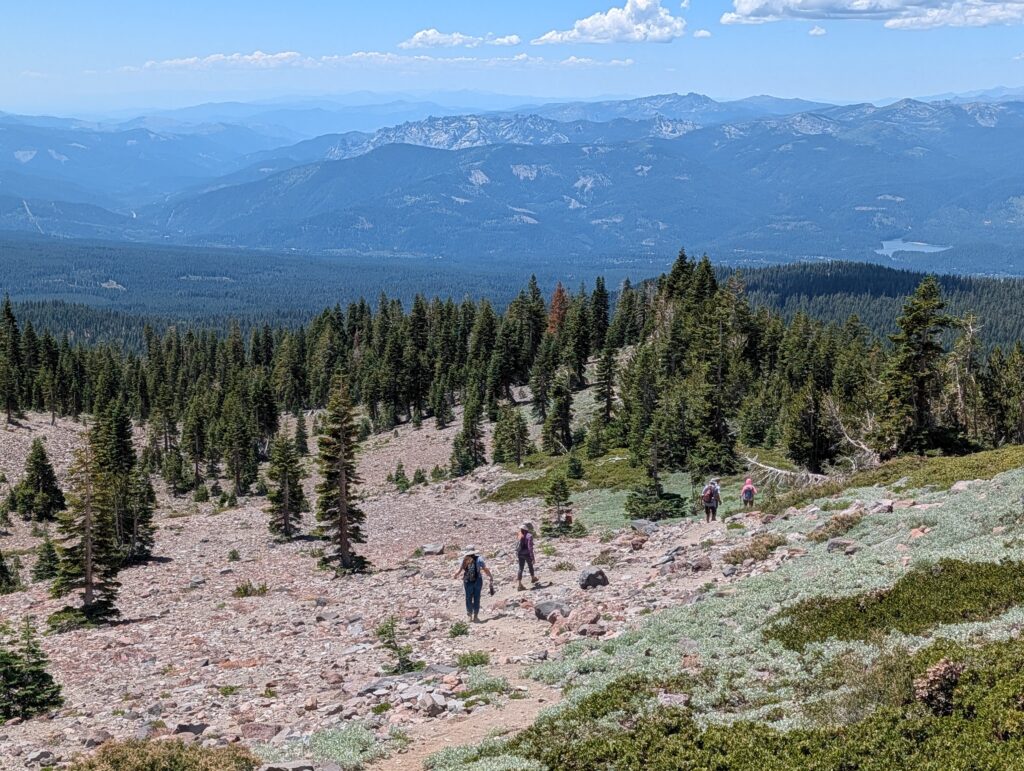
Trail Highlights
This trail route showcases the lands of the Sierra Club Foundation’s Shasta Alpine Hut (formerly Horse Camp)
Trailhead Location: In Google Maps “Bunny Flat Trailhead”
Length 4 mile loop
Elevation Gain / Range: 1,400 ft gain from elevation 6900 to 8300 feet
Difficulty: Moderate
When to go: Vista Trail hike: June through October. General area: great snowhoeing and back country skiing in Winter, but know your limits and always check avalanche conditions (There is a reason Avalanche Gulch has its name)
Cell Service: Good, but can be spotty: Take a paper map and download your online maps beforehand.
Trail Map
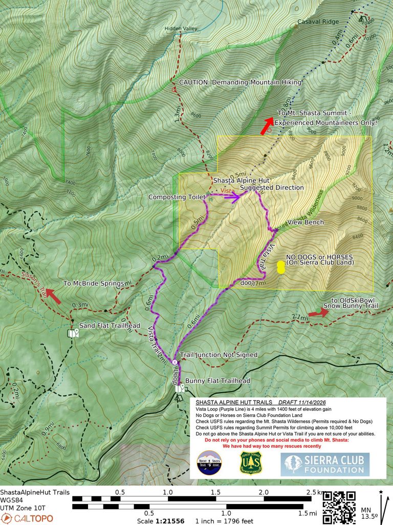
Note you can load this map directly into the free CalTopo app by scanning the QR code with your phone’s camera.
Trail Details: Trail names in this area have been in flux recently, we are using the trail names as shown (November 2026) on the USFS Interactive Visitor Map (They have been copied to OpenStreetMap.org and thus are shown on the default background maps for most hiking apps. )
Directions to the Trailhead: “Bunny Flat Trailhead” in Google Maps. From the I5 Lake Street exit in Mt Shasta go straight up Lake Street until it becomes Everitt Memorial Highway at Rockfellow Drive (in front of the Armory and High School.) Drive 11 miles up Everitt Memorial Highway to Bunny Flat.
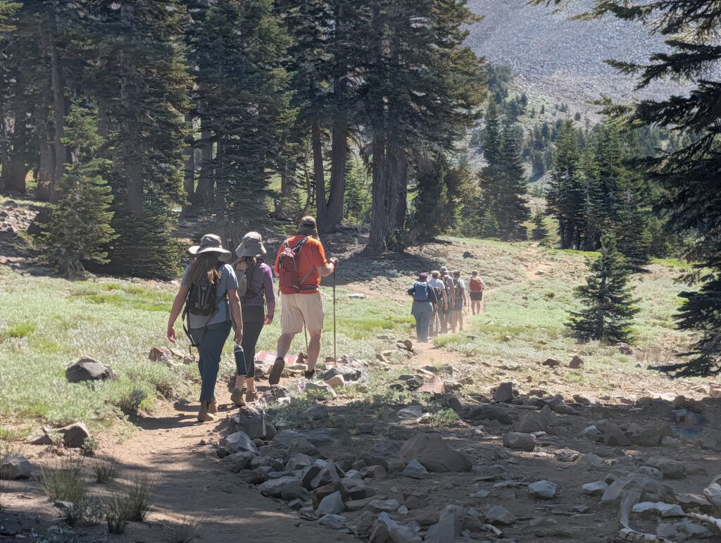
Trail Details: After parking, enjoy the view from Bunny Flat and then find the primary Bunny Flat trail that goes from behind the vault toilets along the left hand (west) edge of the flats.
At the upper end of the flats (<1/4 mile from the trailhead), turn left (staying on the “Bunny Flat” trail) and follow the signs to Horse Camp. At this point you will be very near where the Vista Loop route comes back down the Green Butte Climbing Route (unofficial trail); the trail junction is unsigned. (To the right is the unofficial “Snow Bunny” trail to the Old Ski Bowl, dogs allowed)
Continue on the Bunny Flats trail another 1/4 mile to a split where you take the trail to the right to continue on the Bunny Flats trail. After a bit you will pass an old rain gauge tower.
One mile from the Bunny Flats trailhead you will reach a signed junction with the Sand Flat trail; go right towards the Alpine Hut (Horse Camp). The trail you are on now was the first (1890’s) mapped trail / route from Sisson’s Tavern (site of the hatchery) to the top of Mt. Shasta: Sisson’s Trail.
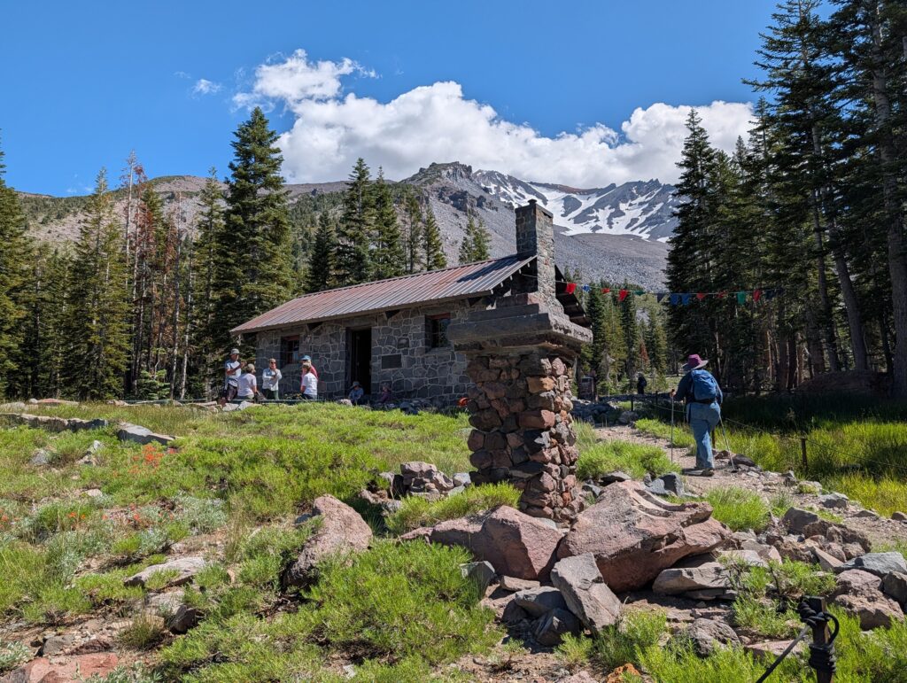
Continue another 3/4 mile to the Alpine Hut. Along the way you will enter the Mt. Shasta Wilderness (signed) and the Sierra Club Foundation’s lands (signed No Dogs or Horses).
At the Alpine Hut check out the spring and use the composting toilets if needed.
Behind the hut and near the spring look for the Vista Trail heading due east; it starts at the same area as the “Olberman’s Causeway” which is a stepping stone start for the climb straight up Mt. Shasta. The “Causeway” goes a steep 1/2 mile up the mountain to a small spring. Do not go any further up Mt. Shasta unless you are very secure in your way finding skills and have experience climbing mountains.
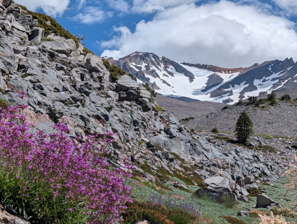
Follow the Vista Trail due east from the Hut, climbing slowly above timberline. After 1/4 mile the trail crosses Avalanche Gulch; the trail can be obscured from recent avalnches or still buried under snow. Look for the trail continuing up the other side of the gulch on a south – southeast course.
Follow the trail as it slowly climbs away from Avalanche Gulch and then switchbacks up the western side of Green Butte Ridge. About 3/4 mile from the Hut you will reach the high point of the trail (elevation 8300 ft) at a rock bench; take a break and enjoy the view.
Follow the trail down the back of the ridge, staying within a hundred yards or so of the dropoff on your right. This section of trail is often still covered by snow patches into June and July, so be alert and use your mapping tools.
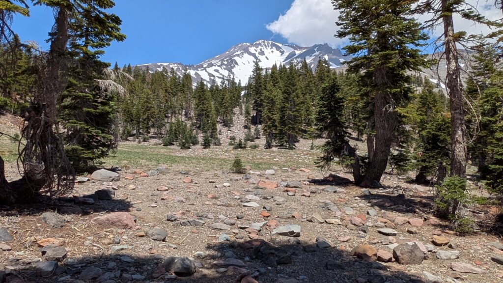
A quarter mile after the high point bench, the trail drops down the east side of the ridge to a plateau/meadow with a great view of The Mountain.
The trail then contours down and across a steep slope back towards the ridge.
You then continue down the back of the ridge to where you meet the Bunny Flat trail, completing the loop.
Land Agencies:
–Sierra Club Foundation https://www.sierraclubfoundation.org/shasta-alpine-hut-mount-shasta There are volunteer caretakers at the hut during summer months
–Mount Shasta Ranger Station, Shasta-Trinity National Forest, 204 West Alma, Mount Shasta, CA 96067. (530) 926-4511. https://www.fs.usda.gov/r05/shasta-trinity
Check USFS rules regarding the Mt. Shasta Wilderness (Permits required & No Dogs)
Check USFS rules regarding Summit Permits for climbing above 10,000 feet
Special Features:
Do not rely on your phones and social media to climb Mt. Shasta:
We have had way too many rescues recently