Trail Challenge 2024 – Check Out the PCT Hike to Porcupine Lake

Have you noticed all the Pacific Crest Trail (PCT) hikers in town that have been forced off the trail by the Shelly and Park fires?  Would you like to experience a little bit of the world famous PCT for yourself? The 2024 Mount Shasta Trail Challenge features a gorgeous section of the PCT that takes you to Porcupine Lake!  Hikers from all over the world tell us that our local stretch of the PCT is some of the most beautiful they see on their entire 2,650-mile journey from Mexico to Canada.

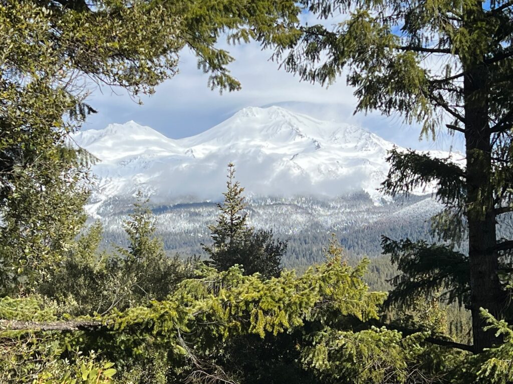
Majestic views of Mt Shasta AND Mt Lassen.   Several meadows featuring fields of pitcher plants and even “Astragalus Whitneyi” aka Whitney’s locoweed. Beautiful Porcupine Lake with easy access to take a dip. The trail is 11 miles long round trip and with 1,300’ of elevation gain so maybe not for the brand new hiker. It’s almost above treeline and you’re on the ridge so it’s a little exposed and you might want to bring a hat and sunscreen.  Dogs are ok on the PCT but not bikes.

Consider bringing some trail magic like clean water and candy bars for the PCT hikers you encounter. You’ll be impressed by how far they have come to enjoy what we have in our backyard.

Everything you need for the FREE Mount Shasta Trail Challenge can be found at this link. Search AllTrails or other trails app for “Porcupine Lake via PCT” or ask for a trail guide at the USFS Ranger Station in Mt Shasta.

2024 Trail Challenge – Upper McCloud River Trail

Just upstream from the very popular McCloud waterfalls, the Upper McCloud River Trail is one of the more underrated trails on the 2024 Mount Shasta Trail Challenge.   

This flat single track trail meanders along the river for 13 miles one way.    Perfect to shuttle hike with a friend and leave cars at two different trailheads.  Mountain bike riders could make a loop with the nearby Great Shasta Rail Trail.  Pro tip: park at the Cattle Camp trailhead for a figure 8 loop keeping your car and a restroom nearby, and finish with a dip in the Cattle Camp swimming hole!

Dogs are welcome and will enjoy the occasional river access.  Might be a little long for the kiddos.  Cell phone service comes and goes.

Big shout out to the 20 person hand crew that was brushing the trail and felling hazard trees on a hot July morning!!   Perfect timing to come check out this great trail!

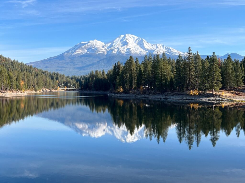
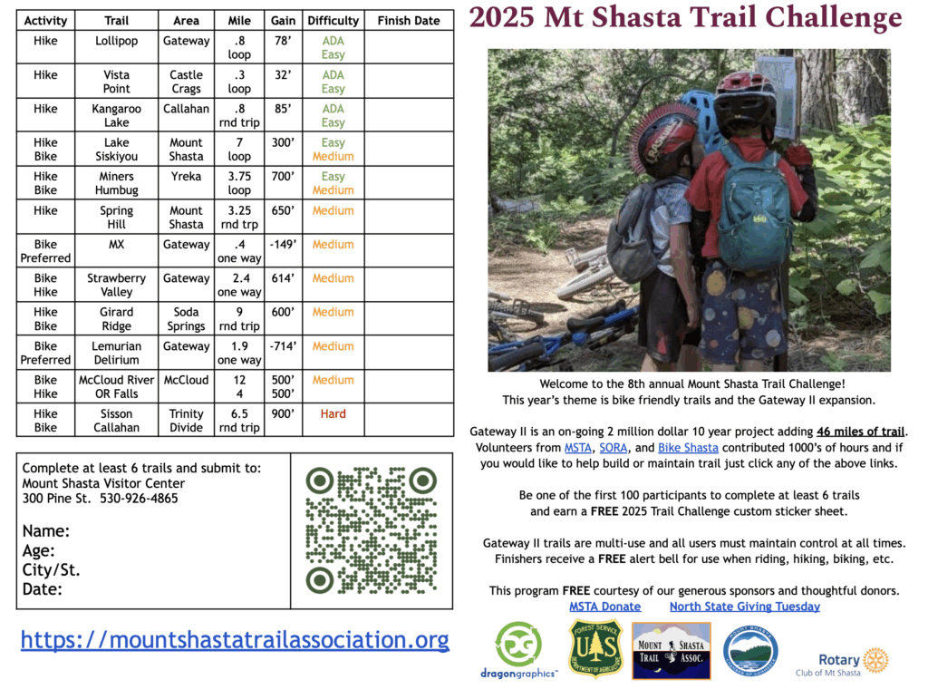
Get your always FREE Mount Shasta Trail Challenge passport and Upper McCloud River trail guide at this link.   FYI, the seasonal bridges are up at Lake Siskiyou for those of you looking to complete that trail for the challenge.

Trail Challenge 2024 – Yet Atwàm Creek Trail

The Yet Atwàm Creek Trail is new to the Mount Shasta Trail Challenge and an exciting option if you have never been.   This trail has been recently renamed by the Forest Service and is roughly translated to “Mount Shasta Valley”.

The last few miles of road before the Cabin Creek Trailhead are gravel but passable by most vehicles.  There is a restroom at the trailhead but cell coverage is very spotty so download your maps before leaving the town of McCloud.   Dogs and kids will enjoy this relatively flat trail with lots of river access.

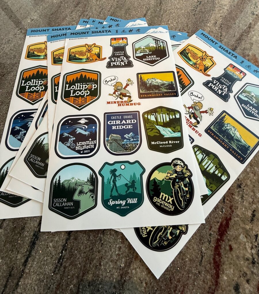
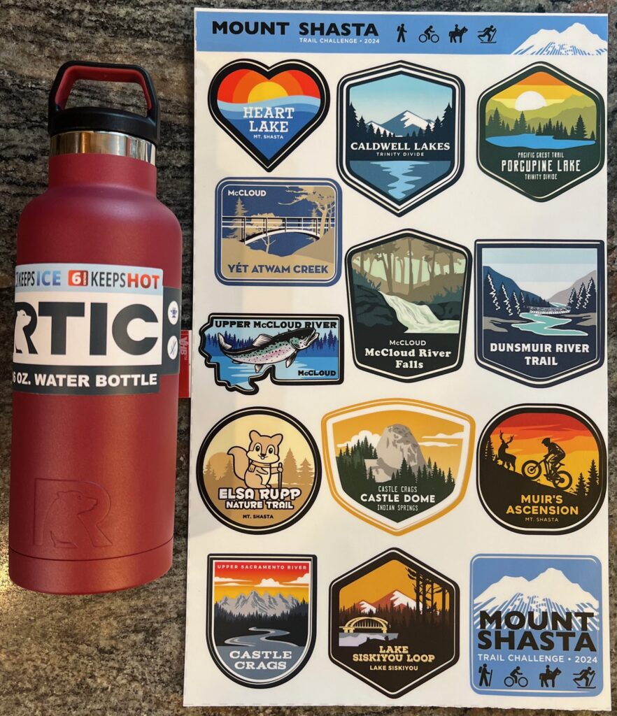
This trail is one of the first to clear of snow and is also nice and cool on a hot summer day.  More remote than other trails on the Challenge so you may enjoy some solitude among the trees.   With any luck you may run into a Pacific Crest Trail thru hiker as this trail briefly follows the world famous PCT.   Feel free to ask them where they are from, what is their “Trail Name” and offer some “Trail Magic” like a candy bar.   The PCT bridge is on the great Trail Challenge sticker designed by our partners at Dragon Graphics!

The trail is rated moderate but has various lengths including a longer loop found on AllTrails or other trail apps.   The first 2 miles are easy rolling single track but then include some minor rock scrambling.   To complete for the Trail Challenge go only as far as you feel comfortable.

All info on the FREE Mount Shasta Trail Challenge can be found at click

PCT Bridge

Carolyn Napper Joins MSTA Board of Directors

The Mount Shasta Trail Association is pleased to announce that Carolyn Napper has joined its Board of Directors.

Carolyn grew up in Connecticut and Pennsylvania and graduated from Quinnipiac University in Hamden, CT with a degree in Marketing and a minor in Economics. Her cross-country running coach encouraged her to join the U.S. Peace Corps and off she went to the Philippines for 3 years where work involved helping a large farmer’s cooperative. Upon returning to California, she pursued a Master’s Degree in Agriculture specializing in Soil Science at Cal Poly San Luis Obispo. Carolyn returned to the Philippines to instruct incoming Peace Corps volunteers. The last group that Carolyn trained as new Peace Corps Volunteers included a couple who had just retired from the Forest Service in Oregon, and they encouraged Carolyn to pursue a job with the Forest Service.

Carolyn started at the Stanislaus National Forest in 1989 as a soil scientist and spent 8 years working and living in Murphys, California doing soils, range, and hydrology. The range management involved lots of long hikes into the wilderness to evaluate range conditions and use.  Carolyn met her husband Greg, a civil engineer who also worked for the USFS. Carolyn and Greg moved to Chester, CA and raised two boys before moving to the USFS San Dimas Technology and Development Center in Southern California. Carolyn was able to travel to visit other National Forests from Alaska to Florida and helped on wildfire recovery in Greece, Australia, and Israel.

In 2011, Carolyn was selected as the District Ranger on the Shasta-Trinity National Forest in Mount Shasta, CA and has worked closely with the MSTA since then. Upon arriving in Mount Shasta, Gateway Phase I was being implemented and was well received by the community. Carolyn retired December 2023 and is delighted to be able to continue to help serve the community on the MSTA board.

Trail Challenge 2024 – Thank You Rotary!

The 2024 Mount Shasta Trail Challenge has only just started and we already have a huge announcement!!!   The Rotary Club of Mount Shasta has made a significant donation and we are excited to announce that our regular capacity has increased from 100 finishers to 150!   That’s right, we now have 150 RTIC water bottles and 150 Dragon Graphics sticker sheets.

The Rotary Club is specifically hoping to attract the younger trail users of Mount Shasta with this additional capacity.  The Trail Challenge is open to all abilities and that includes trail users of all ages!   Hit the paved portion of the Lake Siskiyou Trail with your baby stroller.  Young kids may love checking out the HUGE crane on the Dunsmuir River Trail.  Try out the brand new Muir’s Ascension trail with your young adult mountain biker.

The Mount Shasta Trail Association is working with the Rotary to reach out to local youth organizations and spread the word about this great program.  Feel free to support this effort by reaching out to your local schools, scout troops, church groups, and sports teams.

 Click here for your passport.

MSTA Trail Challenge #7

As the summer goes by quickly, we’re now at the penultimate MSTA Trail Challenge Treasure Hunt.

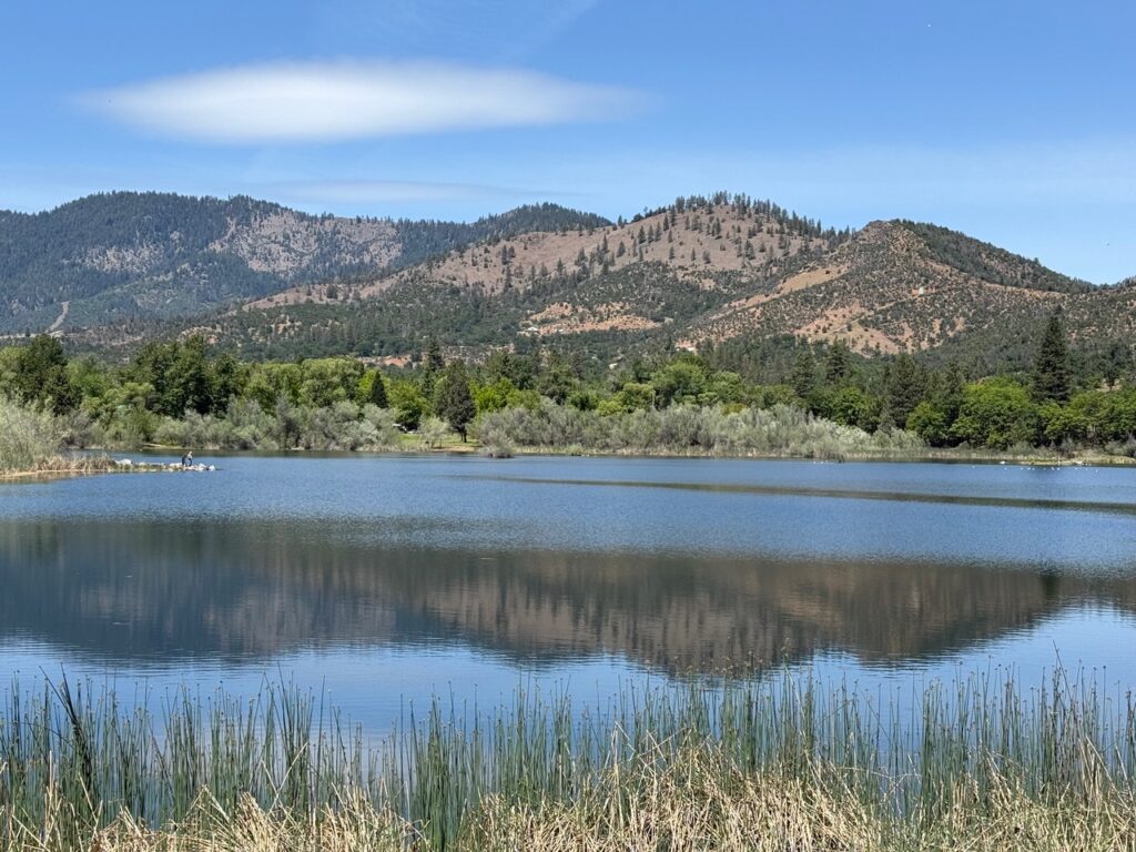
To begin your search for the seventh trail treasure, start at a high mountain lake that reminds you of sticky shoes. Continue past the campground and kiosk and cross a small rock dam. Hike a short distance around the lake until you find two large pines and a small circle of carnivorous plants. Trek up the trail for approximately 15- 20 minutes. You will the will find the smaller namesake of the lower lake. This is the trail treasure.

Here are the rules of the hunt. Each time you locate a treasure, send us a photo or description of the treasure along with your contact information to: mtshastatrail@gmail.com. Then, your name will be entered into a drawing for the grand prize. In addition, the first person to locate each new treasure will receive their choice of a prize, and their name will be placed into the grand prize drawing. For example, if you find 5 treasures your name will be added five times to the grand prize drawing.

South Fork Sacramento Field Trip — June 19, 2021

The Shasta-McCloud Management Unit is hosting a field trip to facilitate understanding of the proposed South Fork Sacramento Public Safety and Restoration Project on Saturday June 19th. One aspect of this project is the proposal for additional non-motorized trails. If interested, note that you must sign up by the end of Thursday June 17th. See the poster below for more details.

Forest Service Virtual Town Hall — Wednesday March 3, 2021

South Fork Sacramento Public Safety and Forest Restoration Project – VIRTUAL Public Meeting: Wednesday, March 3, 2021 from 5 to 7 p.m.

The Forest Service will provide an overview of possible opportunities and challenges for improving public safety and reducing wildfire risks in the South Fork Sacramento watershed above Lake Siskiyou.

To participate: click on the Join live event link. For those that want to join by telephone, the number is listed below as well.

Microsoft Teams Join live event: https://tinyurl.com/southforksacramento

+1 323-886-7051 United States, Los Angeles (Toll)
Conference ID: 413 700 194#

The Forest Service has been collecting data on this area and doing fire modeling to better understand current conditions. We invite you all to hear about the current conditions and to meet our team of specialists. We hope to continue this open forum and once weather conditions improve we will conduct field trips to the area.

South Fork Sacramento River View

Shasta-Trinity NF Closure Order Lifted — With Some Exceptions

The temporary closure of the Shasta-Trinity National Forest has been lifted as of 8 a.m. on Saturday the 19th. Therefore, the Shasta-Trinity National Forest is OPEN for public entry, with some exceptions. Many other national forests in California remained closed.

Specifically, the Shasta McCloud Management Unit established a forest closure order prohibiting dispersed camping in certain areas on the Unit. These areas are open to day use. The two areas are: South Fork Zone and a Mount Shasta Zone. This is in effect until October 31st. Additionally, the Bunny Flat gate will remain closed for the remainder of the season, which includes no camping in Panther Meadows Campground (area behind the gate is open to day use). The gates on Castle Lake Road and just above McBride Springs CG on the Everitt Memorial Highway will be opened on Monday when the County is able to do so. That’s when day use sites above these gates will re-open

All fire restrictions are still in effect. Therefore, no campfires, no propane grills, no ignitions of any sort – this includes in developed campgrounds.

Here are links to a news release, the closure order and map identified the areas closed to dispersed camping.

View of Gateway Trail expansion area