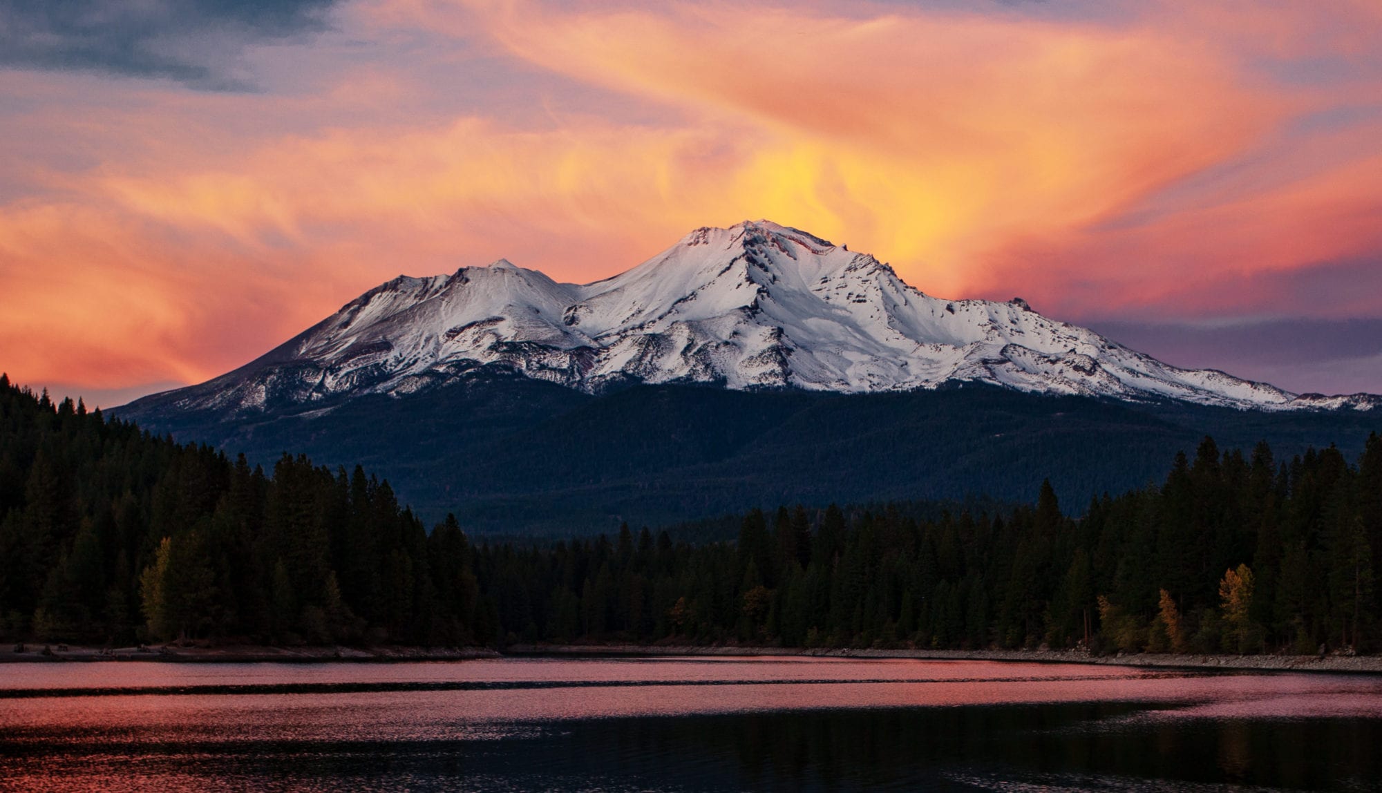
Special Features: clear waters and tumbling falls of Yét Atwam Creek (formerly Squaw Valley Creek); spring and summer wildflowers; summer swimming holes; bountiful autumn color in October and early November.
Meaning of Yét Atwam: Per http://www.bigbendhotsprings.org/pit-river-language/ , “Yét” means “Mount Shasta” and “atwam” means “valley” or “flat”
Directions to the Trailhead: Take Highway 89 to McCloud and turn south on the county’s Squaw Valley Creek Road. Drive 5.9 miles and then go right onto a road marked for Squaw Valley Creek and the Pacific Crest Trail. Go 3 miles and park in the lot just beyond the concrete bridge spanning Yét Atwam Creek.
Controlling Agency: McCloud Ranger Station, Shasta-Trinity National Forest, P.O. Box 1620, McCloud, CA 96057; (530) 964-2184. www.fs.fed.us/r5/shastatrinity. Visit the office at 2019 Forest Road on the north side of Highway 89 on the east side of McCloud.
When to Hike: year-round as snow permits; generally April through November
Maps: USGS 7.5″ Girard Ridge, USGS 7.5″ Yellowjacket Mtn. Download a map here.
Difficulty: easy to moderate
Option 1: along Yét Atwam from Cabin Creek Trailhead to the dirt road
Length: 10.0 miles round trip
High Point: 2600 feet
Elevation Gain: 800 feet
Head toward the creek and follow the path downstream to a meeting with the Pacific Crest Trail. Watch the water flow from the center of the bridge and then take the path headed downstream, which you follow for the remainder of the hike. Look for small side trails sprinkled along the route that lead to swimming spots.
The way stays near the rushing waters as it travels through a Douglas fir forest sprinkled with ponderosa pine, Pacific yew, dogwood and vine maples. Willows and alders frequent the stream banks, as do tiger lilies and horsetails.
Reach a good campsite at 2 miles. An 8-foot waterfall arrives soon after, followed by a 15-footer at 2.8 miles. Pass two smaller waterfalls before the trail reaches the dirt road near Beartrap Creek at 5.0 miles.
Option 2: loop—Pacific Crest Trail, dirt road, and Yét Atwam Creek Trail
Length: 8.0 miles round trip
High Point: 3050 feet
Elevation Gain: 1800 feet
Find the trail and cross the footbridge over Cabin Creek. Follow the path for a short distance to another footbridge over Yét Atwam Creek, part of the Pacific Crest Trail. Watch the flow of the creek from the center of the bridge, and then go downstream and uphill for about 500 feet.
Turn right and follow the PCT .9 mile uphill to the Octopus—a convergence of dirt roads. Stay to the left for a two-mile descent through a thick Douglas fir forest on a dirt road beside Beartrap Creek. About 400 feet after the road crosses Beartrap Creek on a bridge, look for Squaw Valley Creek/Cabin Creek trail on your left. (If you actually see the Yét Atwam Creek/ former Squaw Valley Creek, you’ve gone a bit too far.)
Quickly cross Beartrap Creek and begin hiking upstream along Yét Atwam Creek for the final 5 miles to the trailhead. Look for small side trails sprinkled along the route that lead to swimming spots. The path undulates near the surging waters of the creek as it initially passes scrub oaks, and later Douglas firs sprinkled with ponderosa pines, Pacific yew, dogwoods, and vine maples. Look for willows and alders bordering the stream, and also tiger lilies, Siskiyou Lewisia, Indian rhubarb, and horsetails. Spy a 15-foot waterfall about 2.0 miles from the dirt road, followed by an 8-footer in another mile or so.
