


Trail Highlights
| Trailhead location | Castle Lake parking, 10 miles SW Mt Shasta City |
| Length | 1.0 mile (round trip) |
| Elevation gain / max | Negligible / 5,450′ |
| Difficulty | Easy |
| When to go | May – Nov |
Trail Map
Trail Details
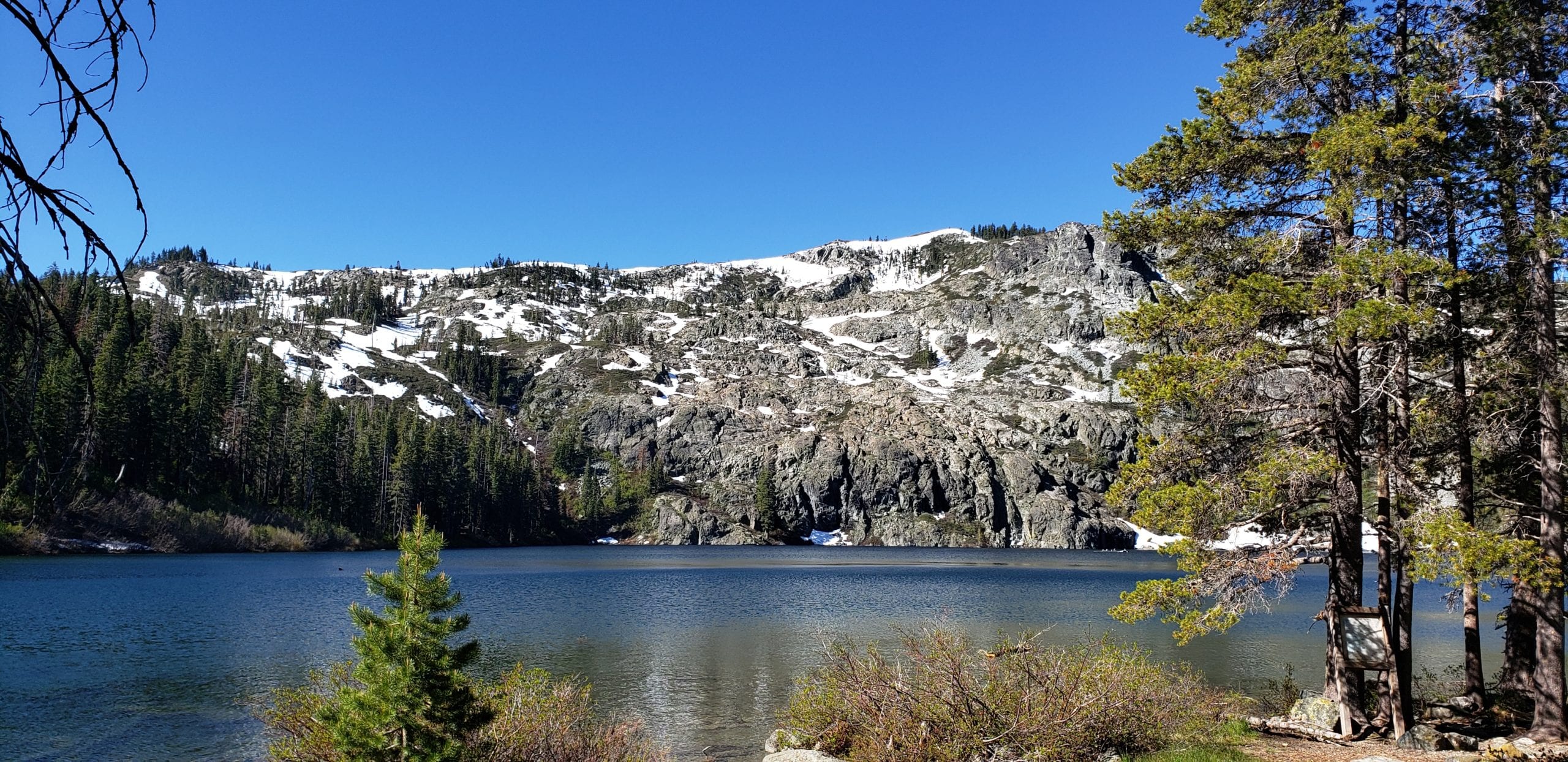
First read the informative signboards on the south edge of the lake by the parking lot. They examine Castle Lake’s natural history and discuss how scientists study the lake. The short trail leaves from the northeast end of the parking lot (on the right just past the restroom as you drive in). It heads along the west shore of the lake and allows you several opportunities to reach the water’s edge for a refreshing swim or a contemplative sit.
See separate entries for hiking to Heart Lake and to Mount Bradley Ridge.
Directions to Trailhead
Trailhead is accessed from Castle Lake parking lot. In winter the road does get snow, check the Mt Shasta Avalanche Center and USFS road conditions.
Support MSTA
MSTA develops and maintains trails in the Mount Shasta area, and advocates for hiking, biking and equestrian access. We are a volunteer-based 501(c)(3) non-profit organization and count on your support. Please consider giving back to your trails!