Gateway Phase 2 Trail Project gains momentum
Contact(s): Josef Orosz, Public
Affairs Specailist, 530 226-2322
MT. SHASTA, Calif. — The Shasta
McCloud Management Unit of the Shasta-Trinity National Forest, in partnership
with the Mt. Shasta Trail Association (MSTA), has finalized and signed the
Gateway Phase 2 Environmental Assessment and Decision Notice which will allow
for the following:
• Construct
44.8 miles of new multi-use, non-motorized trails and 1.7 miles of trail that
would be designed and permitted to equestrians and hikers only.
• Construct
two new day-use trailheads at Ten Gallon Plantation and the south side of the
Everitt Memorial Highway across from the McBride Springs Campground.
• Develop
two existing recreation facilities as day-use trailheads at the John Everitt
Vista Point and the Nordic Center on the Ski Park Highway.
• Expand
the McBride Springs Campground by adding a loop for 8-12 campsites.
• Decommission
unauthorized, unsustainable, user-created trails and trail segments in the
project area.
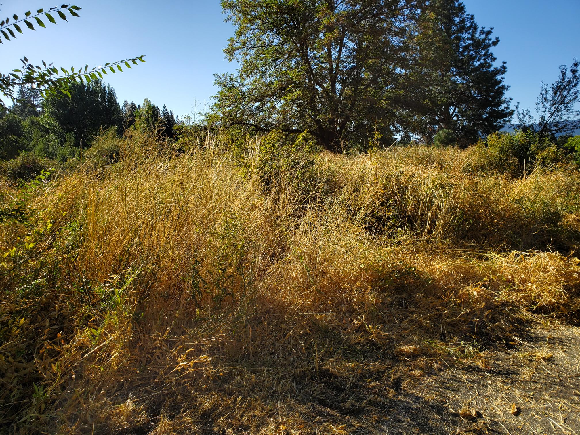
The project area encompasses over
5,000 acres joining the existing 11.4 mile Gateway trail system off the Everitt
Memorial Highway and Ski Park Highway, and contributes to the community’s “100
miles of Trail” campaign that launched in 2013 by MSTA and BikeShasta.
The proposed trail expansion has
been designed to address multiple non-motorized trail users – hikers, trail
runners, mountain bikers, and equestrian riders and incorporates consideration
for trail-user objectives and desired experiences. This resulted in a “zoned”
approach to the trail network that includes:
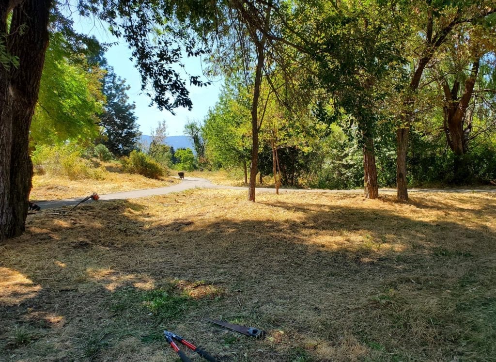
1. Community
Zone – close to town and easy to access, designed to build upon the existing
Gateway network and creates more opportunities to quickly get out and enjoy the
forest.
2. Learning
Zone (Discovery Center) – trailhead will be located at the Nordic Center, a
short connection to the Mt. Shasta Ski Park, and mellow, rolling terrain with
fantastic views all around. The Learning Zone will be ideal for those new to
trails and will provide a series of loops that allow users to begin easy and
add mileage if they feel up to the challenge.
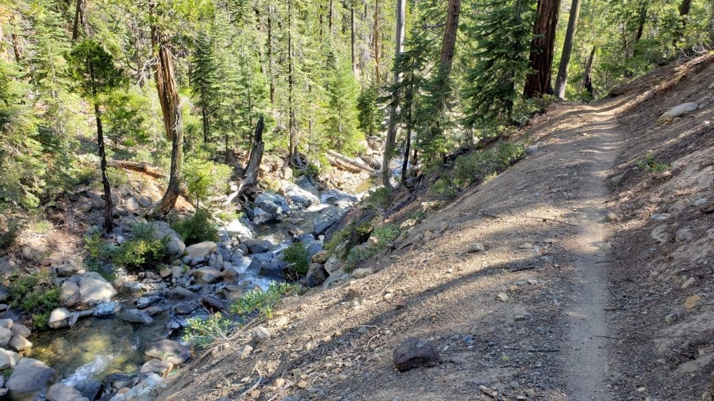
3. Big
Mountain Zone – designed to provide a variety of trail experiences, but with an
emphasis on mountain biking, including a portion where the “preferred-use”
would be mountain biking. The Vista Point trailhead will function as a drop
point in which users can descent into an assortment of routes ranging from
intermediate level flow trails, to advanced downhill directionally designed
trails, and connect with the Community or Learning Zones.
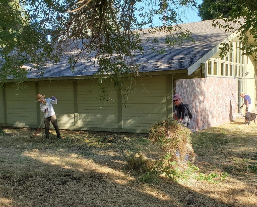
Over the last two years, the Forest
Service has worked closely with the MSTA, who funded the NEPA analysis and
completed the technical resource reports and Environmental Assessment following
Forest Service guidelines. “This project was truly a community-led effort with
support from all user groups, local businesses, and residents. It is an
exciting time for our area with such an emphasis on recreation and tourism.
This project compliments the designation of the city of Mt. Shasta as a Pacific
Crest Trail Town and the larger concept of the Mount Shasta Trail Partners,”
explained Shasta McCloud Management Unit District Ranger, Carolyn Napper. “This
project provides the Forest Service an opportunity to work with the City of Mt.
Shasta and surrounding areas to diversify the economic base of the community
and promote partnerships with user groups to assist in the operation,
maintenance, and developed of recreation sites and facilities.”
With the grant funding the Mt.
Shasta Trail Association received from the McConnell Foundation in 2017, trail
building will begin in the spring of 2020 in the Big Mountain Zone.
Construction will be a phased approach and once trail segments have been
integrated into the National Forest System Trails system they will be open for
public use. Both the Forest Service and the MSTA is continuing to apply for
additional grant funding (Prop 68 and Recreation Trails Program) to support the
construction and maintenance into the future.
“The completion of the environmental
analysis and the signing of a decision for the Gateway Phase 2 Trail Project is
a monumental event for the Trail Association and all of our donors and partners
— especially the support we got from the local Forest Service employees,”
stated Mt Shasta Trail Association board member, John Schuyler. “We see
national forest lands as key to our goal of making southern Siskiyou County a
destination for sustainable trail-based recreation, and this project
demonstrates how we and the Forest Service can work together and accomplish
common goals.”
For more information about this project visit https://www.fs.usda.gov/project/?project=53089. A larger image of the trail project is available at https://www.fs.usda.gov/Internet/FSE_DOCUMENTS/FSEPRD677468.pdf.